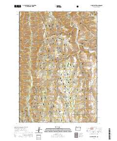
2020 Map of Roberts Butte
USGS Topo · Published 2020About this map
Wallowa National Forest land dominates this section of the Oregon high country, where a complex network of drainages and ridges creates a deeply dissected landscape. Notable topographic landmarks such as Roberts Butte and Starvation Ridge define the vertical relief, while the hydrology is characterized by numerous seasonal and perennial flows including Swamp Creek, Joseph Cr, and Crow Cr. The naming conventions of the gulches and canyons, such as Alford Gulch, Boner Gulch, and Johnson Canyon, often reflect the early ranching and homesteading history of Wallowa County.
Find a feature on this map
28 named features on this map. Tap any name to fly to it.
Don’t see what you’re looking for? This feature index may not catch every label — zoom into the map to look around manually.
Map Details
Editions of this 2020 Roberts Butte Map
This is the sole edition of this map. No revisions or reprints were ever made.
Other maps of this area

1955 · Grangeville
USGS Topo · 1:250,000

1957 · Sled Springs
USGS Topo · 1:62,500

1957 · Elk Mountain
USGS Topo · 1:62,500

1959 · Grangeville
USGS Topo · 1:250,000
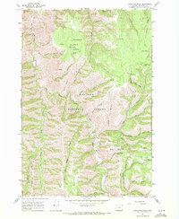
1967 · Table Mountain
USGS Topo · 1:24,000
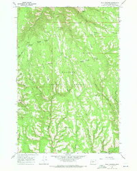
1967 · Billy Meadows
USGS Topo · 1:24,000
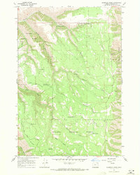
1967 · Shamrock Creek
USGS Topo · 1:24,000

1982 · Wallowa
USGS Topo · 1:100,000
1990 · Hicks Spring
USGS Topo · 1:24,000
1990 · Elk Mountain SE
USGS Topo · 1:24,000