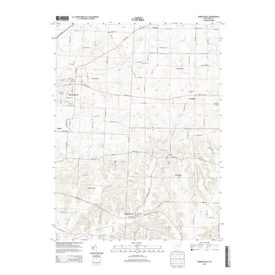
2013 Map of Robertsville
USGS Topo · Published 2013About this map
The city of Louisville anchor the western edge of this Stark County landscape, where the headwaters of the E Br Nimishillen Cr and Black Run carve through the terrain. Smaller settlements like Paris, Robertsville, and Freeburg dot the countryside, maintaining a network of local cemeteries that serve as vital touchstones for family historians, including the Amish Cem, Union Cem, and Motts Cem.
Find a feature on this map
150 named features on this map. Tap any name to fly to it.
Don’t see what you’re looking for? This feature index may not catch every label — zoom into the map to look around manually.
Map Details
Editions of this 2013 Robertsville Map
This is the sole edition of this map. No revisions or reprints were ever made.
Other maps of this area

1901 · Canton
USGS Topo · 1:62,500

1903 · Canton
USGS Topo · 1:62,500

1909 · Alliance
USGS Topo · 1:62,500

1910 · Carrollton
USGS Topo · 1:62,500

1912 · Dover
USGS Topo · 1:62,500

1912 · Carrollton
USGS Topo · 1:62,500

1944 · Dover
USGS Topo · 1:62,500

1951 · Canton
USGS Topo · 1:250,000

1952 · Alliance
USGS Topo · 1:24,000

1953 · Canton
USGS Topo · 1:250,000