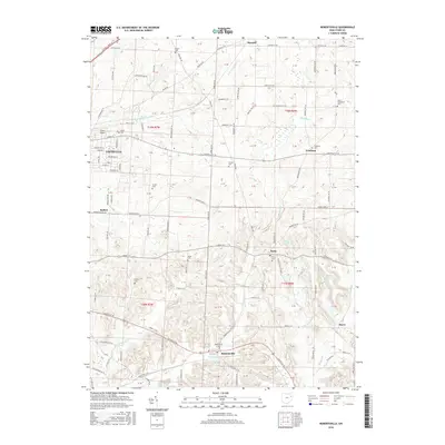
2016 Map of Robertsville
USGS Topo · Published 2016About this map
Louisville and its surrounding rural townships anchor this Stark County landscape, where small hamlets like Paris and Robertsville are connected by a dense network of secondary roads. The terrain is defined by the drainage of Little Sandy Creek and the East Branch Nimishillen Creek, which carve gentle valleys through the agricultural grid. This map is particularly dense with genealogical markers, recording numerous community and family burial grounds including the Amish Cemetery and Zwick Cemetery. The transition from the more developed blocks of Louisville to the outlying unincorporated settlements of Freeburg and Belfort illustrates the persistence of early village centers in northeast Ohio. Notable landmarks such as Yoder Airport and Hidden Valley Lake provide reference points within the township squares of t19n r7w and t18n r6w.
Find a feature on this map
101 named features on this map. Tap any name to fly to it.
Don’t see what you’re looking for? This feature index may not catch every label — zoom into the map to look around manually.
Map Details
Editions of this 2016 Robertsville Map
This is the sole edition of this map. No revisions or reprints were ever made.
Other maps of this area

1901 · Canton
USGS Topo · 1:62,500

1903 · Canton
USGS Topo · 1:62,500

1909 · Alliance
USGS Topo · 1:62,500

1910 · Carrollton
USGS Topo · 1:62,500

1912 · Dover
USGS Topo · 1:62,500

1912 · Carrollton
USGS Topo · 1:62,500

1944 · Dover
USGS Topo · 1:62,500

1951 · Canton
USGS Topo · 1:250,000

1952 · Alliance
USGS Topo · 1:24,000

1953 · Canton
USGS Topo · 1:250,000