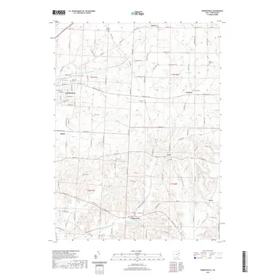
2019 Map of Robertsville
USGS Topo · Published 2019About this map
Louisville and its surrounding rural townships in Stark County are defined by a mix of historic crossroads settlements and a dense network of family and community cemeteries. Small villages like Freeburg, Paris, and Robertsville anchor the landscape, which is drained by the E Br Nimishillen Cr and Black Run. The distribution of burial grounds, including the Beech Mennonite Cem and the Amish Cem, points to the long-standing Mennonite and Amish heritage within these agricultural corridors.
Find a feature on this map
105 named features on this map. Tap any name to fly to it.
Don’t see what you’re looking for? This feature index may not catch every label — zoom into the map to look around manually.
Map Details
Editions of this 2019 Robertsville Map
This is the sole edition of this map. No revisions or reprints were ever made.
Other maps of this area

1901 · Canton
USGS Topo · 1:62,500

1903 · Canton
USGS Topo · 1:62,500

1909 · Alliance
USGS Topo · 1:62,500

1910 · Carrollton
USGS Topo · 1:62,500

1912 · Dover
USGS Topo · 1:62,500

1912 · Carrollton
USGS Topo · 1:62,500

1944 · Dover
USGS Topo · 1:62,500

1951 · Canton
USGS Topo · 1:250,000

1952 · Alliance
USGS Topo · 1:24,000

1953 · Canton
USGS Topo · 1:250,000