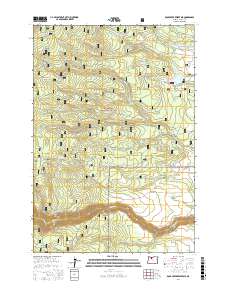
2017 Map of Rock Creek Reservoir
USGS Topo · Published 2017About this map
Mount Hood National Forest defines this landscape in Wasco County, where the transition from high timber to plateau is managed through a complex network of water diversion and mountain roads. The presence of the Barlow Rd serves as a reminder of the historical migration routes that crossed this terrain, while modern water management is evidenced by the Lost-Boulder Ditch and Threemile-Ditch.
Find a feature on this map
50 named features on this map. Tap any name to fly to it.
Don’t see what you’re looking for? This feature index may not catch every label — zoom into the map to look around manually.
Map Details
Editions of this 2017 Rock Creek Reservoir Map
This is the sole edition of this map. No revisions or reprints were ever made.
Other maps of this area

1924 · Mount Hood
USGS Topo · 1:125,000

1927 · Mount Hood
USGS Topo · 1:125,000

1930 · Dufur
USGS Topo · 1:125,000

1934 · Dufur
USGS Topo · 1:125,000

1953 · The Dalles
USGS Topo · 1:250,000

1956 · The Dalles
USGS Topo · 1:250,000

1956 · Mt. Wilson
USGS Topo · 1:62,500

1957 · The Dalles
USGS Topo · 1:250,000

1962 · Rock Creek Reservoir
USGS Topo · 1:24,000
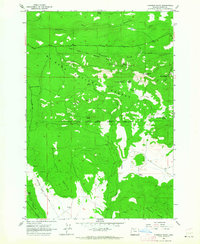
1962 · Foreman Point
USGS Topo · 1:24,000