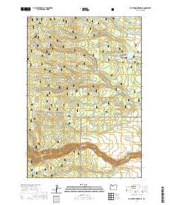
2020 Map of Rock Creek Reservoir
USGS Topo · Published 2020About this map
Mount Hood National Forest occupies the central terrain of this quadrangle, where high ridges and deep hollows like Hazel Hollow and North Fork Hazel Hollow dictate the local geography. The area's water management is evident through a series of reservoirs and artificial channels, including Rock Creek Reservoir, Smarts Reservoir, and Miller Reservoir, alongside historical irrigation routes like Threemile Ditch and Lost Boulder Ditch.
Find a feature on this map
52 named features on this map. Tap any name to fly to it.
Don’t see what you’re looking for? This feature index may not catch every label — zoom into the map to look around manually.
Map Details
Editions of this 2020 Rock Creek Reservoir Map
This is the sole edition of this map. No revisions or reprints were ever made.
Other maps of this area

1924 · Mount Hood
USGS Topo · 1:125,000

1927 · Mount Hood
USGS Topo · 1:125,000

1930 · Dufur
USGS Topo · 1:125,000

1934 · Dufur
USGS Topo · 1:125,000

1953 · The Dalles
USGS Topo · 1:250,000

1956 · The Dalles
USGS Topo · 1:250,000

1956 · Mt. Wilson
USGS Topo · 1:62,500

1957 · The Dalles
USGS Topo · 1:250,000

1962 · Rock Creek Reservoir
USGS Topo · 1:24,000
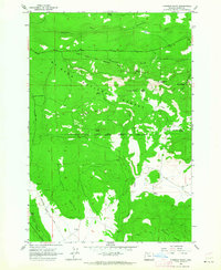
1962 · Foreman Point
USGS Topo · 1:24,000