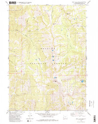
1980 Map of Rock Lake Peak
USGS Topo · Published 1980About this map
Bridger National Forest land dominates this high-altitude landscape, centered on the prominent spire of Rock Lake Peak. The topography is defined by a dense network of glacial basins and deep drainages, including Steves Canyon and Dry Canyon, which channel snowmelt into various forks of the Willow Creek and Swift Creek systems. This map captures the area as it was recorded in the mid-1970s, showcasing a terrain where human presence is marked almost exclusively by an extensive network of Pack Trails.
Find a feature on this map
25 named features on this map. Tap any name to fly to it.
Don’t see what you’re looking for? This feature index may not catch every label — zoom into the map to look around manually.
Map Details
Editions of this 1980 Rock Lake Peak Map
2 editions found
Other maps of this area

1921 · Afton
USGS Topo · 1:125,000

1955 · Preston
USGS Topo · 1:250,000

1958 · Preston
USGS Topo · 1:250,000

1962 · Preston
USGS Topo · 1:250,000
1980 · Blind Bull Creek
USGS Topo · 1:24,000
1980 · Grover
USGS Topo · 1:24,000
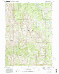
1980 · Man Peak
USGS Topo · 1:24,000
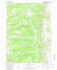
1980 · Box Canyon Creek
USGS Topo · 1:24,000
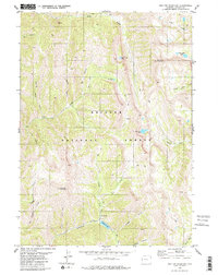
1980 · Red Top Mountain
USGS Topo · 1:24,000
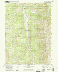
1980 · Park Creek
USGS Topo · 1:24,000