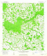
1960 Map of Rock Ridge
USGS Topo · Published 1962About this map
Withlacoochee River Swamp dominates this landscape on the border of Polk, Sumter, and Lake Counties, reflecting the complex hydrology of Central Florida in the early 1960s. The small settlement of Rock Ridge serves as the primary focal point, anchored by the Little Flock Ch. The area is defined by its transition from high ground to wet lowlands, where names like Hart Hammock and Strand Hammock indicate islands of distinctive vegetation amidst the wetlands. Transportation history is deeply etched into the terrain through various Old Railroad Grade markings that crisscross the swamp, remnants of earlier logging or industrial efforts. These stand in contrast to the active Seaboard Air Line Railroad visible in the upper reaches. Water management is evident through named channels such as Cumbee Drain and Mattress Drain, which suggest a long-standing effort to navigate or reclaim portions of the drainage basin for local use.
Find a feature on this map
16 named features on this map. Tap any name to fly to it.
Don’t see what you’re looking for? This feature index may not catch every label — zoom into the map to look around manually.
Map Details
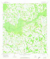
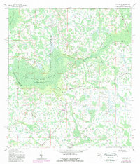
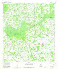
Editions of this 1960 Rock Ridge Map
4 editions found
Other maps of this area

1944 · Providence
USGS Topo · 1:31,680

1944 · Polk City
USGS Topo · 1:31,680

1944 · Socrum
USGS Topo · 1:31,680

1955 · Plant City
USGS Topo · 1:250,000

1955 · Orlando
USGS Topo · 1:250,000

1957 · Orlando
USGS Topo · 1:250,000

1958 · Orlando
USGS Topo · 1:250,000

1958 · Plant City
USGS Topo · 1:250,000

1959 · Plant City
USGS Topo · 1:250,000

1959 · Lake Nellie
USGS Topo · 1:24,000