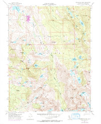
1955 Map of Rockbound Valley
USGS Topo · Published 1971About this map
Desolation National Wilderness Forest dominates this high-altitude survey of the Sierra Nevada, where the drainage of the Rubicon River carves through a landscape of granite and water. In the northern reaches, the Rubicon Reservoir sits near Onion Flat, representing the mid-century water management infrastructure overseen by the State of California Department of Water Resources. Remote outposts and seasonal camps like the Univ Calif Cow Camp and China Flat suggest a history of grazing and research that predates the modern wilderness designation.
Find a feature on this map
73 named features on this map. Tap any name to fly to it.
Don’t see what you’re looking for? This feature index may not catch every label — zoom into the map to look around manually.
Map Details
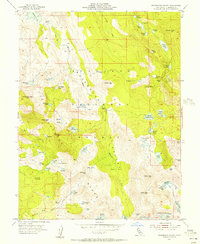
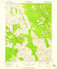
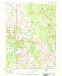
Editions of this 1955 Rockbound Valley Map
4 editions found
Other maps of this area

1889 · Pyramid Peak
USGS Topo · 1:125,000

1891 · Truckee
USGS Topo · 1:125,000

1891 · Pyramid Peak
USGS Topo · 1:125,000

1893 · Truckee
USGS Topo · 1:125,000

1895 · Pyramid Peak
USGS Topo · 1:125,000

1895 · Truckee
USGS Topo · 1:125,000

1896 · Pyramid Peak
USGS Topo · 1:125,000

1932 · Truckee
USGS Topo · 1:96,000

1940 · Truckee
USGS Topo · 1:125,000

1947 · Sacramento
USGS Topo · 1:250,000