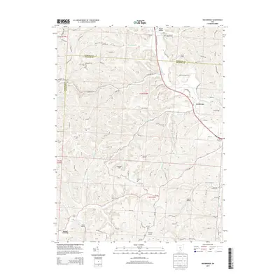
2013 Map of Rockbridge
USGS Topo · Published 2013About this map
The Hocking River carves through the transition between Fairfield and Hocking Counties, anchoring a landscape defined by sharp elevation changes and deep valleys. The village of Sugar Grove sits at the northern edge of this corridor, while Rockbridge occupies a strategic bend in the river further south. The topography is notably complex, featuring the prominent Cantwell Cliffs and several named hollows like Wildcat Hollow, Peterson Hollow, and the curiously named Toad Hollow. Numerous family and church cemeteries, including the Old Catholic Cem, Whippoorwill Cem, and Saint Matthews Lutheran Cem, are scattered across the uplands, providing a dense record of early rural settlement and genealogy. The map also traces established drainage patterns through Clear Creek and Brushy Fork, alongside small crossroads like Mound Crossing.
Find a feature on this map
132 named features on this map. Tap any name to fly to it.
Don’t see what you’re looking for? This feature index may not catch every label — zoom into the map to look around manually.
Map Details
Editions of this 2013 Rockbridge Map
This is the sole edition of this map. No revisions or reprints were ever made.
Other maps of this area

1904 · Zaleski
USGS Topo · 1:62,500

1907 · Zaleski
USGS Topo · 1:62,500

1907 · Logan
USGS Topo · 1:62,500

1907 · Lancaster
USGS Topo · 1:62,500

1909 · Lancaster
USGS Topo · 1:62,500

1909 · Logan
USGS Topo · 1:62,500

1910 · Laurelville
USGS Topo · 1:62,500

1912 · Laurelville
USGS Topo · 1:62,500

1944 · Laurelville
USGS Topo · 1:62,500

1947 · Columbus
USGS Topo · 1:250,000