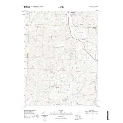
2019 Map of Rockbridge
USGS Topo · Published 2019About this map
Sugar Grove and Rockbridge anchor this landscape where the Hocking River cuts through the borderlands of Fairfield and Hocking counties. The area is defined by sharp topographic relief and numerous deep drainages, including Peterson Hollow, Toad Hollow, and Wildcat Hollow. The distribution of rural landmarks suggests a long-established communal fabric, evidenced by a high density of small family and church burial grounds such as the Old Catholic Cem, Union Cem, and Saint Matthews Lutheran Cem.
Find a feature on this map
123 named features on this map. Tap any name to fly to it.
Don’t see what you’re looking for? This feature index may not catch every label — zoom into the map to look around manually.
Map Details
Editions of this 2019 Rockbridge Map
This is the sole edition of this map. No revisions or reprints were ever made.
Other maps of this area

1904 · Zaleski
USGS Topo · 1:62,500

1907 · Zaleski
USGS Topo · 1:62,500

1907 · Logan
USGS Topo · 1:62,500

1907 · Lancaster
USGS Topo · 1:62,500

1909 · Lancaster
USGS Topo · 1:62,500

1909 · Logan
USGS Topo · 1:62,500

1910 · Laurelville
USGS Topo · 1:62,500

1912 · Laurelville
USGS Topo · 1:62,500

1944 · Laurelville
USGS Topo · 1:62,500

1947 · Columbus
USGS Topo · 1:250,000