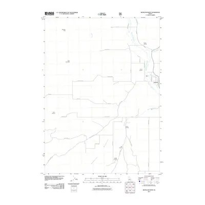
2011 Map of Rockland West
USGS Topo · Published 2011About this map
Rockland serves as the primary settlement hub for this agricultural and canyon-ribbed portion of Power County. The landscape is defined by the convergence of several drainages, including South Fork Rock Creek and East Fork Rock Creek, which support a network of irrigation infrastructure such as the US Ditch and Lower West Ditch. These water systems are critical to the local farms accessed via roads like Farmers Rd and Creamery Rd.
Find a feature on this map
35 named features on this map. Tap any name to fly to it.
Don’t see what you’re looking for? This feature index may not catch every label — zoom into the map to look around manually.
Map Details
Editions of this 2011 Rockland West Map
This is the sole edition of this map. No revisions or reprints were ever made.
Other maps of this area

1934 · Rockland
USGS Topo · 1:62,500

1937 · Rockland
USGS Topo · 1:62,500

1954 · Pocatello
USGS Topo · 1:250,000

1958 · Pocatello
USGS Topo · 1:250,000

1958 · Sublett
USGS Topo · 1:62,500

1959 · Yale
USGS Topo · 1:62,500

1971 · Rockland East
USGS Topo · 1:24,000
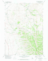
1971 · Indian Springs
USGS Topo · 1:24,000
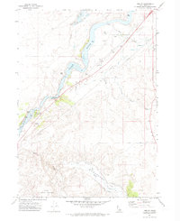
1971 · Neeley
USGS Topo · 1:24,000

1971 · Rockland West
USGS Topo · 1:24,000