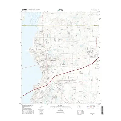
2016 Map of Rockwall
USGS Topo · Published 2016About this map
Rockwall serves as the focal point of this 2016 survey, showcasing a landscape transitioning from suburban density to established rural roads. Significant local history is preserved in several burying grounds, including Rockwall Cem, Mount Zion Cem, and Longhorn Cem, which provide essential touchpoints for genealogical research. The eastern shore of Corder Lake dominates the western edge of the sheet, while the inland terrain is defined by a dense network of smaller bodies of water like Phelps Lake, Caruth Lake, and Crenshaw and Burnett Lake.
Find a feature on this map
250 named features on this map. Tap any name to fly to it.
Don’t see what you’re looking for? This feature index may not catch every label — zoom into the map to look around manually.
Map Details
Editions of this 2016 Rockwall Map
This is the sole edition of this map. No revisions or reprints were ever made.
Other maps of this area

1891 · Dallas
USGS Topo · 1:125,000

1893 · Dallas
USGS Topo · 1:125,000

1912 · Rockwall
USGS Topo · 1:31,680

1919 · Royse City
USGS Topo · 1:62,500

1924 · Farmersville 3-c
USGS Topo · 1:48,000

1924 · Mc Kinney 4-d
USGS Topo · 1:48,000

1929 · McKinney
USGS Topo · 1:62,500

1930 · Farmersville
USGS Topo · 1:62,500

1954 · Dallas
USGS Topo · 1:250,000

1954 · Sherman
USGS Topo · 1:250,000