
1958 Map of Rogers
USGS Topo · Published 1959About this map
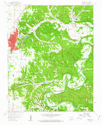
Rogers serves as a developing hub on the Ozark plateau in the late 1950s, defined by its grid of streets such as Walnut St and its proximity to recreational and natural landmarks. The landscape to the east is characterized by the winding White River and the significant Big Spring River, which carve through deep valleys like Dream Valley and Esculapia Hollow. A notable cultural and resort influence is evident at Monte Ne and nearby Joyzelle Camp, reflecting the area's history as a destination for health and leisure near the Electric Springs.
Find a feature on this map
68 named features on this map. Tap any name to fly to it.
Don’t see what you’re looking for? This feature index may not catch every label — zoom into the map to look around manually.
Map Details
Editions of this 1958 Rogers Map
4 editions found
Other maps of this area

1899 · Fayetteville
USGS Topo · 1:125,000

1900 · Eureka Springs
USGS Topo · 1:125,000

1901 · Eureka Springs
USGS Topo · 1:125,000

1901 · Fayetteville
USGS Topo · 1:125,000

1904 · Fayetteville
USGS Topo · 1:125,000

1945 · Harrison
USGS Topo · 1:250,000

1949 · Harrison
USGS Topo · 1:250,000

1954 · Harrison
USGS Topo · 1:250,000

1954 · Tulsa
USGS Topo · 1:250,000

1957 · War Eagle
USGS Topo · 1:24,000