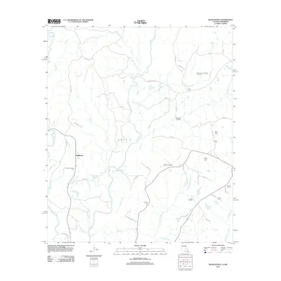
2012 Map of Rogillioville
USGS Topo · Published 2012About this map
Rogillioville sits at the heart of this East Feliciana Parish landscape, where the winding course of Thompson Cr and its many tributaries define the local geography. The map reveals a rural economy shaped by natural resources, most notably the Thompson Creek Oil Field and the Mount Common Church Gas Field. The area is intersected by historical corridors such as W Old Jackson Rd and Trinity Church Ln, which connect the scattered homesteads and small-scale operations.
Find a feature on this map
59 named features on this map. Tap any name to fly to it.
Don’t see what you’re looking for? This feature index may not catch every label — zoom into the map to look around manually.
Map Details
Editions of this 2012 Rogillioville Map
This is the sole edition of this map. No revisions or reprints were ever made.
Other maps of this area

1906 · Bayou Sara
USGS Topo · 1:125,000

1936 · Woodville
USGS Topo · 1:62,500

1939 · St. Francisville
USGS Topo · 1:62,500

1941 · Norwood
USGS Topo · 1:31,680

1941 · Lost Creek
USGS Topo · 1:31,680

1945 · Norwood
USGS Topo · 1:31,680

1945 · Jackson
USGS Topo · 1:31,680

1945 · Lost Creek
USGS Topo · 1:31,680

1946 · Clinton
USGS Topo · 1:31,680

1953 · Natchez
USGS Topo · 1:250,000