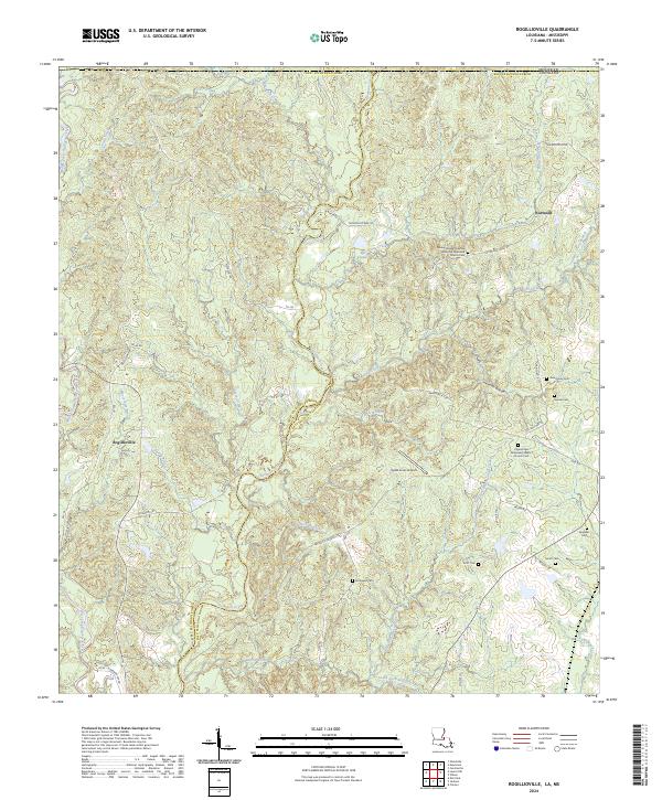
2024 Map of Rogillioville
USGS Topo · Published 2024About this map
The boundary between West Feliciana Parish and East Feliciana Parish runs through this landscape, following the winding course of Thompson Creek. This area of Louisiana, just south of the Mississippi state line, is defined by its intricate drainage network, where the Middle Fork Thompson Creek and West Fork Thompson Creek converge. The settlement pattern is largely rural, anchored by Rogillioville and Norwood.
Find a feature on this map
66 named features on this map. Tap any name to fly to it.
Don’t see what you’re looking for? This feature index may not catch every label — zoom into the map to look around manually.
Map Details
Editions of this 2024 Rogillioville Map
This is the sole edition of this map. No revisions or reprints were ever made.
Other maps of this area

1906 · Bayou Sara
USGS Topo · 1:125,000

1936 · Woodville
USGS Topo · 1:62,500

1939 · St. Francisville
USGS Topo · 1:62,500

1941 · Norwood
USGS Topo · 1:31,680

1941 · Lost Creek
USGS Topo · 1:31,680

1945 · Norwood
USGS Topo · 1:31,680

1945 · Jackson
USGS Topo · 1:31,680

1945 · Lost Creek
USGS Topo · 1:31,680

1946 · Clinton
USGS Topo · 1:31,680

1953 · Natchez
USGS Topo · 1:250,000