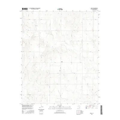
2016 Map of Rolla
USGS Topo · Published 2016About this map
Rolla is the central anchor of this Collingsworth County landscape, characterized by the persistent grid of Texas farm-to-market roads and county routes that define its agricultural character. The terrain is marked by the winding courses of Buck Cr and Wet Salt Cr, which cut through the panhandle plains. For genealogists and local historians, the presence of Rolla Cem near the town center and Quail Cem to the northwest offers specific points for tracing early settler heritage in this corner of the state. The naming of Roscoe Springs in the northern reaches suggests a reliance on natural water sources that historically shaped the placement of ranches and homesteads. The transition from established community centers to the more isolated stretches along FM 338 and Co RD V illustrates the enduring spatial patterns of rural West Texas life.
Find a feature on this map
26 named features on this map. Tap any name to fly to it.
Don’t see what you’re looking for? This feature index may not catch every label — zoom into the map to look around manually.
Map Details
Editions of this 2016 Rolla Map
This is the sole edition of this map. No revisions or reprints were ever made.
Other maps of this area

1954 · Plainview
USGS Topo · 1:250,000

1958 · Plainview
USGS Topo · 1:250,000

1959 · Wellington NW
USGS Topo · 1:24,000

1960 · Loco
USGS Topo · 1:62,500

1961 · Estelline
USGS Topo · 1:62,500

1964 · Rolla SW
USGS Topo · 1:24,000

1964 · Rolla NE
USGS Topo · 1:24,000

1964 · Wellington
USGS Topo · 1:24,000

1964 · Quail
USGS Topo · 1:24,000

1964 · Rolla
USGS Topo · 1:24,000