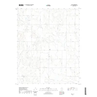
2019 Map of Rolla
USGS Topo · Published 2019About this map
Rolla serves as the central point for this agricultural region of the Texas Panhandle, where the landscape is defined by the winding paths of Buck Cr and Wet Salt Cr. The map documents a sparsely populated but deeply rooted community, with land divisions marked by a rigid grid of county roads such as Co RD 100 and Co RD 130. These routes connect dispersed homesteads to vital local landmarks, reflecting the area's continued reliance on pastoral and farming livelihoods.
Find a feature on this map
26 named features on this map. Tap any name to fly to it.
Don’t see what you’re looking for? This feature index may not catch every label — zoom into the map to look around manually.
Map Details
Editions of this 2019 Rolla Map
This is the sole edition of this map. No revisions or reprints were ever made.
Other maps of this area

1954 · Plainview
USGS Topo · 1:250,000

1958 · Plainview
USGS Topo · 1:250,000

1959 · Wellington NW
USGS Topo · 1:24,000

1960 · Loco
USGS Topo · 1:62,500

1961 · Estelline
USGS Topo · 1:62,500

1964 · Rolla SW
USGS Topo · 1:24,000

1964 · Rolla NE
USGS Topo · 1:24,000

1964 · Wellington
USGS Topo · 1:24,000

1964 · Quail
USGS Topo · 1:24,000

1964 · Rolla
USGS Topo · 1:24,000