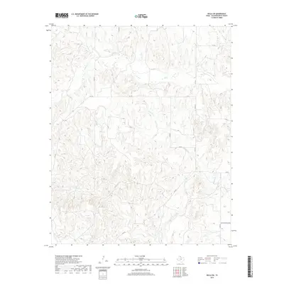
2019 Map of Rolla SW
USGS Topo · Published 2019About this map
Buck Cr and its various tributaries define the drainage patterns across this portion of Collingsworth County, where the Texas Panhandle's erosional landscape is etched with deep drainages. The hydrology of the region is characterized by intermittent flows, as seen in the paths of Wet Salt Cr, Dry Salt Cr, and Squaw Cr. These seasonal watercourses cut through the terrain, creating features like Dry Hollow in the northern reaches of the quadrangle.
Find a feature on this map
15 named features on this map. Tap any name to fly to it.
Don’t see what you’re looking for? This feature index may not catch every label — zoom into the map to look around manually.
Map Details
Editions of this 2019 Rolla SW Map
This is the sole edition of this map. No revisions or reprints were ever made.
Other maps of this area

1954 · Plainview
USGS Topo · 1:250,000

1958 · Plainview
USGS Topo · 1:250,000

1959 · McKnight
USGS Topo · 1:24,000

1961 · Memphis
USGS Topo · 1:62,500

1961 · Estelline
USGS Topo · 1:62,500

1963 · Giles
USGS Topo · 1:24,000

1964 · Rolla SW
USGS Topo · 1:24,000

1964 · Rolla NE
USGS Topo · 1:24,000

1964 · Quail
USGS Topo · 1:24,000

1964 · Rolla
USGS Topo · 1:24,000