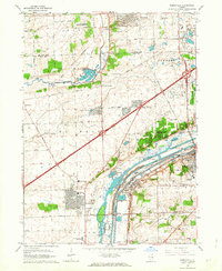
1962 Map of Romeoville
USGS Topo · Published 1963About this map
The industrial and transportation corridors of the Des Plaines Valley define this landscape, where the Des Plaines River runs parallel to the Sanitary and Ship Canal. This 1962 revision shows the area transitioning from rural townships to suburban development, with planned communities like Woodridge and Romeoville emerging alongside established rail lines such as the Atchison Topeka and Santa Fe. The map documents a complex mix of land uses, from the scientific grounds of the Argonne National Laboratory Reservation to the recreational Big Run Golf Club and the Hinterlong Forest Preserve. Local history is anchored by numerous small cemeteries and landmarks like Barbers Corners and Welco Corners, while the heavy industrial character is reinforced by active quarries and the powerplant near the southern canal bend.
Find a feature on this map
60 named features on this map. Tap any name to fly to it.
Don’t see what you’re looking for? This feature index may not catch every label — zoom into the map to look around manually.
Map Details
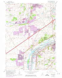
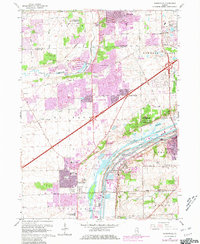
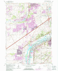
Editions of this 1962 Romeoville Map
4 editions found
Other maps of this area

1890 · Des Plaines
USGS Topo · 1:62,500

1891 · Riverside
USGS Topo · 1:62,500

1892 · Joliet
USGS Topo · 1:62,500

1893 · Riverside
USGS Topo · 1:62,500

1894 · Des Plaines
USGS Topo · 1:62,500

1900 · Des Plaines
USGS Topo · 1:62,500

1900 · Riverside
USGS Topo · 1:62,500

1901 · Des Plaines
USGS Topo · 1:62,500

1901 · Riverside
USGS Topo · 1:62,500

1908 · Wheaton
USGS Topo · 1:62,500