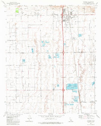
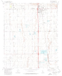
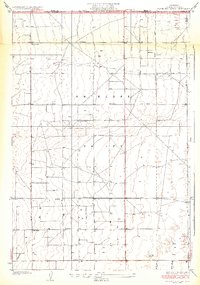
1973 Map of Rosamond
USGS Topo · Published 1977About this map
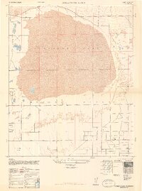
Rosamond serves as the focal point of this high-desert landscape in the early 1970s, positioned along the Southern Pacific rail line. The town's infrastructure includes Rosamond High Sch, Tropico Sch, and the Rosamond Airport, while its eastern edge meets the massive boundary of Edwards Air Force Base. This military presence is underscored by specialized labels like the Old Test Track and a Tracking Station, indicating the region's importance to aerospace development.
Find a feature on this map
34 named features on this map. Tap any name to fly to it.
Don’t see what you’re looking for? This feature index may not catch every label — zoom into the map to look around manually.
Map Details
Editions of this 1973 Rosamond Map
2 editions found
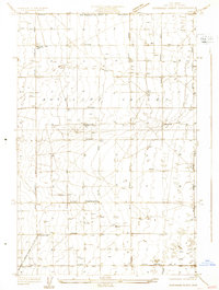
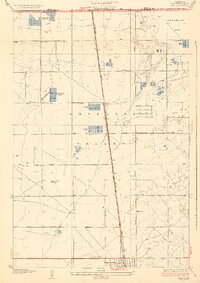
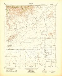
Other maps of this area

1915 · Elizabeth Lake
USGS Topo · 1:125,000

1917 · Elizabeth Lake
USGS Topo · 1:125,000

1930 · Oban
USGS Topo · 1:24,000
1931 · Esperanza School
USGS Topo · 1:24,000
1933 · Oban
USGS Topo · 1:24,000
1934 · Esperanza School
USGS Topo · 1:24,000
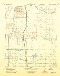
1943 · Rosamond
USGS Topo · 1:62,500
1943 · Willow Springs
USGS Topo · 1:62,500
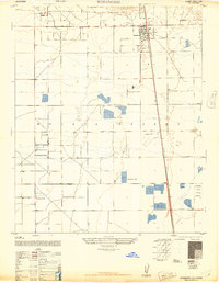
1947 · Rosamond
USGS Topo · 1:24,000
1947 · Rosamond Lake
USGS Topo · 1:24,000