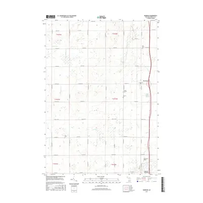
2017 Map of Rosebush
USGS Topo · Published 2017About this map
Rosebush and the northern reaches of Mount Pleasant define this central Michigan landscape, where a dense grid of rural roads connects multi-generational family farms. The terrain is drained by the N Br Chippewa River and smaller tributaries like Schofield Cr and Jordon Cr. For genealogists, this map is particularly valuable for its detailed marking of local burial sites, including the Saint Henrys Cem near the northern border and the Isabella Township Cem further south. The proximity of Woodland Cem and Zion Lutheran Cem reflects the established community roots in this agricultural region. The southern edge of the map shows the transition toward more developed land in Mount Pleasant, including the Mount Pleasant Memorial Gardens, as the rural road system shifts from baseline boundaries toward the city center.
Find a feature on this map
52 named features on this map. Tap any name to fly to it.
Don’t see what you’re looking for? This feature index may not catch every label — zoom into the map to look around manually.
Map Details
Editions of this 2017 Rosebush Map
This is the sole edition of this map. No revisions or reprints were ever made.
Other maps of this area

1916 · Mount Pleasant
USGS Topo · 1:62,500

1919 · Mount Pleasant
USGS Topo · 1:62,500

1930 · Shepherd
USGS Topo · 1:48,000

1936 · Shepherd
USGS Topo · 1:62,500

1943 · Mount Pleasant
USGS Topo · 1:62,500

1954 · Midland
USGS Topo · 1:250,000

1958 · Midland
USGS Topo · 1:250,000

1959 · Midland
USGS Topo · 1:250,000

1959 · Clare
USGS Topo · 1:62,500

1966 · Midland
USGS Topo · 1:250,000