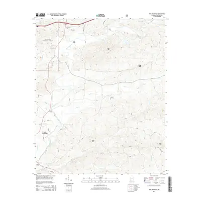
2014 Map of Ross Mountain
USGS Topo · Published 2014About this map
The Talladega National Forest dominates the northwestern corner of this Cleburne County landscape, where the Tallapoosa River carves a winding path through the Piedmont upland. Centered around the community of Heflin, the area is defined by its high ridges, including Ross Mtn, Kemp Mtn, and Bald Mtn. These peaks overlook a network of rural settlements such as Belltown, Gold Hill, and Hollis Crossroads. The map records numerous family-named crossings and landmarks, including Evans Bridge, Ross Bridge, and Denman Bridge, reflecting the historic importance of the river for local transit. Genealogists will find several burial sites noted across the terrain, from New Harmony Cem in the north to Hepsabah Cem near the southern border. The eastern half of the map is particularly rich in small watercourses like Dynne Cr and Clear Cr, feeding into the larger river system that has shaped the county's development and topography.
Find a feature on this map
72 named features on this map. Tap any name to fly to it.
Don’t see what you’re looking for? This feature index may not catch every label — zoom into the map to look around manually.
Map Details
Editions of this 2014 Ross Mountain Map
This is the sole edition of this map. No revisions or reprints were ever made.
Other maps of this area

1889 · Tallapoosa
USGS Topo · 1:125,000

1891 · Ashland
USGS Topo · 1:125,000

1892 · Tallapoosa
USGS Topo · 1:125,000

1897 · Tallapoosa
USGS Topo · 1:125,000

1899 · Wedowee
USGS Topo · 1:125,000

1900 · Anniston
USGS Topo · 1:125,000

1902 · Wedowee
USGS Topo · 1:125,000

1953 · Atlanta
USGS Topo · 1:250,000

1954 · Choccolocco
USGS Topo · 1:24,000

1957 · Atlanta
USGS Topo · 1:250,000