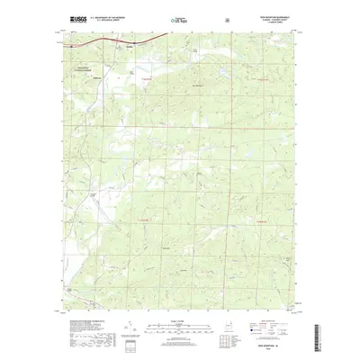
2018 Map of Ross Mountain
USGS Topo · Published 2018About this map
The Tallapoosa River winds through the northern and western sections of this landscape, flanked by the eastern boundary of the Talladega National Forest. This terrain is defined by prominent peaks including Ross Mountain, Kemp Mtn, and Bald Mtn, which overlook a network of tributary creeks such as Chulafinnee Cr and Dunne Cr. The settlement of Heflin is situated in the north, while smaller community centers like Belltown sit tucked away near the river bends.
Find a feature on this map
32 named features on this map. Tap any name to fly to it.
Don’t see what you’re looking for? This feature index may not catch every label — zoom into the map to look around manually.
Map Details
Editions of this 2018 Ross Mountain Map
This is the sole edition of this map. No revisions or reprints were ever made.
Other maps of this area

1889 · Tallapoosa
USGS Topo · 1:125,000

1891 · Ashland
USGS Topo · 1:125,000

1892 · Tallapoosa
USGS Topo · 1:125,000

1897 · Tallapoosa
USGS Topo · 1:125,000

1899 · Wedowee
USGS Topo · 1:125,000

1900 · Anniston
USGS Topo · 1:125,000

1902 · Wedowee
USGS Topo · 1:125,000

1953 · Atlanta
USGS Topo · 1:250,000

1954 · Choccolocco
USGS Topo · 1:24,000

1957 · Atlanta
USGS Topo · 1:250,000