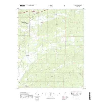
2021 Map of Ross Mountain
USGS Topo · Published 2021About this map
Heflin and the winding Tallapoosa River define this part of Cleburne County, where the foothills of the southern Appalachians rise into several prominent peaks. The landscape is characterized by a network of rural county roads that connect remote family cemeteries and small settlements like Belltown. Historically significant burial grounds, including New Harmony Cem, Evans Cem, and Beason Grove Cem, are scattered across the terrain, often situated on higher ground near the river's many tributaries such as Cane Cr and Cahulga Cr.
Find a feature on this map
82 named features on this map. Tap any name to fly to it.
Don’t see what you’re looking for? This feature index may not catch every label — zoom into the map to look around manually.
Map Details
Editions of this 2021 Ross Mountain Map
This is the sole edition of this map. No revisions or reprints were ever made.
Other maps of this area

1889 · Tallapoosa
USGS Topo · 1:125,000

1891 · Ashland
USGS Topo · 1:125,000

1892 · Tallapoosa
USGS Topo · 1:125,000

1897 · Tallapoosa
USGS Topo · 1:125,000

1899 · Wedowee
USGS Topo · 1:125,000

1900 · Anniston
USGS Topo · 1:125,000

1902 · Wedowee
USGS Topo · 1:125,000

1953 · Atlanta
USGS Topo · 1:250,000

1954 · Choccolocco
USGS Topo · 1:24,000

1957 · Atlanta
USGS Topo · 1:250,000