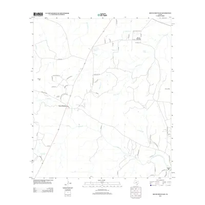
2012 Map of Round Mountain
USGS Topo · Published 2012About this map
Round Mountain and the surrounding Hill Country landscape are defined by a complex network of creeks and prominent summits. To the east, the elevation rises sharply at Shovel Mountain, while the southern reaches are shaped by the winding course of Cypress Cr and its tributaries like Cleveland Br. Small settlements and ranching infrastructure anchor the area, connected by routes such as Old Marble Falls Rd and Ranch Road 962 W. Genealogists will note the Round Mtn Cem located just west of the primary settlement. The presence of Herbert Ranch Airport and various named springs, such as Ebeling Springs, illustrates the blend of aviation and natural resources in this part of Texas. The hydrography is particularly detailed, tracing the paths of Little Flatrock Cr and Mustang Lake amidst the undulating terrain.
Find a feature on this map
53 named features on this map. Tap any name to fly to it.
Don’t see what you’re looking for? This feature index may not catch every label — zoom into the map to look around manually.
Map Details
Editions of this 2012 Round Mountain Map
This is the sole edition of this map. No revisions or reprints were ever made.
Other maps of this area

1887 · Blanco
USGS Topo · 1:125,000

1887 · Burnet
USGS Topo · 1:125,000

1893 · Burnet
USGS Topo · 1:125,000

1894 · Blanco
USGS Topo · 1:125,000

1903 · Burnet
USGS Topo · 1:125,000

1909 · Burnet
USGS Topo · 1:125,000

1925 · Burnet 3-d
USGS Topo · 1:48,000

1929 · Marble Falls
USGS Topo · 1:62,500

1931 · Marble Falls
USGS Topo · 1:48,000

1932 · Marble Falls
USGS Topo · 1:62,500