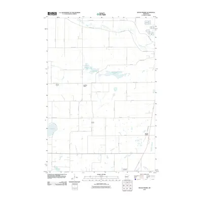
2010 Map of Round Prairie
USGS Topo · Published 2010About this map
The Long Prairie River meanders through this portion of Todd County, defining a landscape of wetlands and small agricultural settlements at the start of the 21st century. The map centers on the small communities of Round Prairie and Gutches Grove, where a geometric grid of county highways and township roads connects dispersed farmsteads. Local history and genealogy interest is anchored by the dual locations of Reynolds Cemetery, which sit near the western edge of the quadrangle.
Find a feature on this map
37 named features on this map. Tap any name to fly to it.
Don’t see what you’re looking for? This feature index may not catch every label — zoom into the map to look around manually.
Map Details
Editions of this 2010 Round Prairie Map
This is the sole edition of this map. No revisions or reprints were ever made.
Other maps of this area

1953 · Brainerd
USGS Topo · 1:250,000

1953 · Saint Cloud
USGS Topo · 1:250,000

1957 · Brainerd
USGS Topo · 1:250,000

1957 · Saint Cloud
USGS Topo · 1:250,000

1958 · Saint Cloud
USGS Topo · 1:250,000

1958 · Brainerd
USGS Topo · 1:250,000

1965 · Brainerd
USGS Topo · 1:250,000

1966 · West Union
USGS Topo · 1:24,000
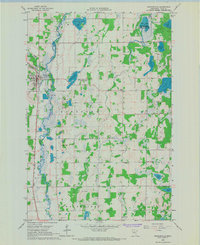
1966 · Browerville
USGS Topo · 1:24,000
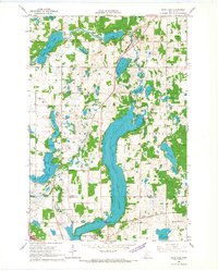
1966 · Sauk Lake
USGS Topo · 1:24,000