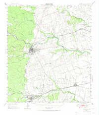
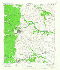
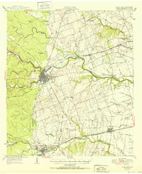
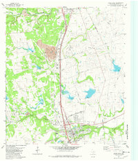
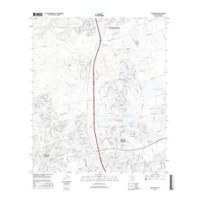
1949 Map of Round Rock
USGS Topo · Published 1974About this map
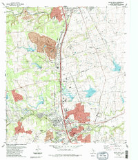
The San Gabriel River serves as the central geographic feature of this Williamson County landscape, where the confluence of the North, Middle, and South Forks meets at Georgetown. This mid-century revision captures a significant era of transition for Central Texas, illustrating the spatial relationship between Round Rock and its predecessor, Old Round Rock. The map details a dense network of rural infrastructure, including the International Great Northern and Missouri Kansas and Texas railroads which defined the early commercial corridors for towns like Hutto and Walburg. Scattered throughout the agricultural plots are numerous family-centric landmarks such as Palm Valley Ch, Bell Cem, and several local schools like Ranger Sch, providing a clear picture of the community centers that anchored the region before the rapid suburban expansion of later decades.
Find a feature on this map
49 named features on this map. Tap any name to fly to it.
Don’t see what you’re looking for? This feature index may not catch every label — zoom into the map to look around manually.
Map Details
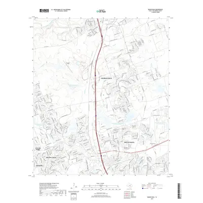
Editions of this 1949 Round Rock Map
2 editions found
Historical Maps of Austin Through Time
10 maps found
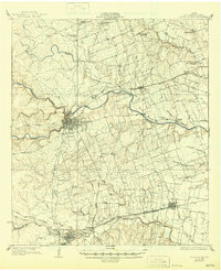
1928 Round Rock
Williamson County, TX
1949 Round Rock
Williamson County, TX
1951 Round Rock
Williamson County, TX
1982 Round Rock
Williamson County, TX
1987 Round Rock
Williamson County, TX
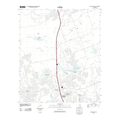
2010 Round Rock
Williamson County, TX
2013 Round Rock
Williamson County, TX
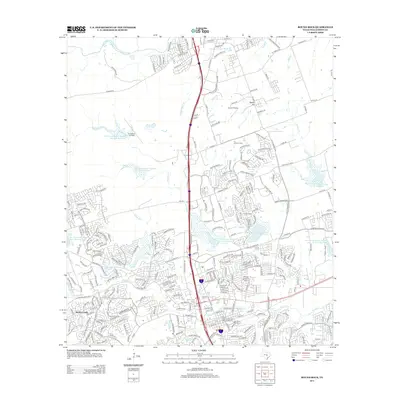
2016 Round Rock
Williamson County, TX
2019 Round Rock
Williamson County, TX
2023 Round Rock
Williamson County, TX