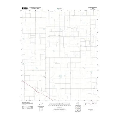
2010 Map of Roundup
USGS Topo · Published 2010About this map
The settlement of Roundup anchors this South Plains landscape along the northern edge of the Llano Estacado. The area is defined by a rigid grid of rural routes, including many named for distant states such as Tennessee, Ohio, Maine Rd, and Nevada Rd, suggesting the diverse origins of the region's homesteaders. The most prominent natural feature is the Yellow House Draw, a dry riverbed that carves a subtle path through the flat agricultural terrain. Industry is concentrated at the Anton - Irish, Clear Fork Oil Field, which marks the intersection of the region's deep petroleum reserves and its surface farming heritage. This 2010 survey also highlights the County Line boundary, showing how administrative borders bisect the small communities and vast fields of the Texas Panhandle.
Find a feature on this map
37 named features on this map. Tap any name to fly to it.
Don’t see what you’re looking for? This feature index may not catch every label — zoom into the map to look around manually.
Map Details
Editions of this 2010 Roundup Map
This is the sole edition of this map. No revisions or reprints were ever made.
Other maps of this area

1954 · Lubbock
USGS Topo · 1:250,000

1954 · Brownfield
USGS Topo · 1:250,000

1956 · Shallowater
USGS Topo · 1:24,000

1957 · Lubbock
USGS Topo · 1:62,500

1957 · Anton
USGS Topo · 1:62,500

1957 · Abernathy
USGS Topo · 1:62,500

1957 · Wolfforth
USGS Topo · 1:62,500

1958 · Brownfield
USGS Topo · 1:250,000

1962 · Brownfield
USGS Topo · 1:250,000
1976 · Anton SW
USGS Topo · 1:24,000