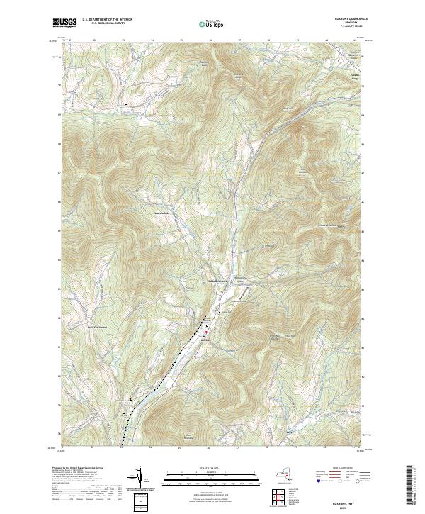
2023 Map of Roxbury
USGS Topo · Published 2023About this map
The East Branch Delaware River flows through the heart of this landscape, defining the valley where the village of Roxbury is established. This modern survey illustrates the enduring settlement patterns of Delaware County, where family-named locales like Moffit Settlement and West Settlement sit alongside geographically named hollows. The rugged topography of the Moresville Range and peaks such as White Man Mountain and Cator Roundtop hem in the developed corridors. Cultural history is anchored by the United Methodist Church and the distinctive Yellow Church, while genealogy is supported by the locations of the Roxbury Cem, Decker Cem, and Tyler Cem. Unusual modern features, including the Roxbury Runway, appear near the more traditional rural clusters of Hubbell Corners and Hardscrabble, showing how modern infrastructure integrates with the historic terrain of the Batavia Kill and Town Brook drainages.
Find a feature on this map
111 named features on this map. Tap any name to fly to it.
Don’t see what you’re looking for? This feature index may not catch every label — zoom into the map to look around manually.
Map Details
Editions of this 2023 Roxbury Map
This is the sole edition of this map. No revisions or reprints were ever made.
Other maps of this area

1900 · Phoenicia
USGS Topo · 1:62,500

1901 · Margaretville
USGS Topo · 1:62,500

1901 · Gilboa
USGS Topo · 1:62,500

1903 · Gilboa
USGS Topo · 1:62,500

1903 · Phoenicia
USGS Topo · 1:62,500

1904 · Hobart
USGS Topo · 1:62,500

1904 · Margaretville
USGS Topo · 1:62,500

1945 · West Kill
USGS Topo · 1:24,000

1945 · Gilboa
USGS Topo · 1:24,000

1945 · Fleischmanns
USGS Topo · 1:24,000