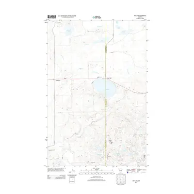
2013 Map of Roy Lake
USGS Topo · Published 2013About this map
Roy Lake sits at the intersection of MN-200 and 340th Ave, serving as a central geographic point on the boundary between Mahnomen and Clearwater counties. This glacial landscape is defined by its high density of small water bodies and wetlands, including Tamarack Lake, Long Lake, and Horseshoe Lake. The settlement of Mahkonce appears to the west, while Naytahwaush is positioned in the southwestern corner, linked by a network of rural routes such as Res Hwy 14 and BIA Rd 78.
Find a feature on this map
38 named features on this map. Tap any name to fly to it.
Don’t see what you’re looking for? This feature index may not catch every label — zoom into the map to look around manually.
Map Details
Editions of this 2013 Roy Lake Map
This is the sole edition of this map. No revisions or reprints were ever made.
Other maps of this area

1954 · Bemidji
USGS Topo · 1:250,000

1957 · Bemidji
USGS Topo · 1:250,000

1958 · Bemidji
USGS Topo · 1:250,000

1969 · North Twin Lake
USGS Topo · 1:24,000

1969 · Ebro
USGS Topo · 1:24,000

1969 · Roy Lake
USGS Topo · 1:24,000

1969 · Tulaby Lake
USGS Topo · 1:24,000

1969 · Snider Lake
USGS Topo · 1:24,000
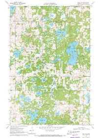
1969 · Ebro NW
USGS Topo · 1:24,000

1969 · Long Lost Lake
USGS Topo · 1:24,000