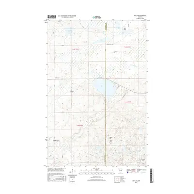
2016 Map of Roy Lake
USGS Topo · Published 2016About this map
Naytahwaush and the nearby community of Mahkonce anchor this landscape along the boundary of Mahnomen and Clearwater Counties. The terrain is defined by a dense network of glacial lakes and wetlands, most notably the expansive Roy Lake and its neighbor West Roy Lake. These water bodies are connected by a system of small waterways such as Roy Lake Cr and Auganush Cr, illustrating the complex hydrology typical of this portion of northern Minnesota. Local navigation relies on a grid of Bureau of Indian Affairs and county roads, including BIA Rd 14 and Co Rd 7. Prominent elevations like Hogback Hill and Norris Hill rise above the surrounding marshes and smaller basins like Skinaway Lake and Franta Lake, providing distinct landmarks for those studying the area's physical geography or local land use patterns.
Find a feature on this map
45 named features on this map. Tap any name to fly to it.
Don’t see what you’re looking for? This feature index may not catch every label — zoom into the map to look around manually.
Map Details
Editions of this 2016 Roy Lake Map
This is the sole edition of this map. No revisions or reprints were ever made.
Other maps of this area

1954 · Bemidji
USGS Topo · 1:250,000

1957 · Bemidji
USGS Topo · 1:250,000

1958 · Bemidji
USGS Topo · 1:250,000

1969 · North Twin Lake
USGS Topo · 1:24,000

1969 · Ebro
USGS Topo · 1:24,000

1969 · Roy Lake
USGS Topo · 1:24,000

1969 · Tulaby Lake
USGS Topo · 1:24,000

1969 · Snider Lake
USGS Topo · 1:24,000
1969 · Ebro NW
USGS Topo · 1:24,000

1969 · Long Lost Lake
USGS Topo · 1:24,000