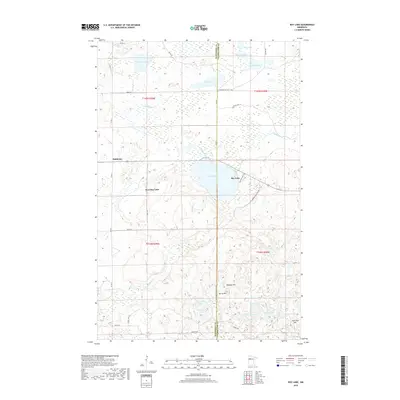
2019 Map of Roy Lake
USGS Topo · Published 2019About this map
Mahkonce serves as a small population center on this landscape where the boundaries of Mahnomen and Clearwater counties meet. The area is defined by a dense concentration of glacial lakes and wetlands, including the large central body of Roy Lake and its western counterpart, West Roy Lake. These waters feed a complex network of streams like Roy Lake Cr and Augunosh Cr, which thread through the rolling terrain. The presence of several distinct topographic markers such as Hogback Hill, Norris Hill, and Jack Pine Hill suggests the varied glacial moraine typical of this part of northern Minnesota.
Find a feature on this map
40 named features on this map. Tap any name to fly to it.
Don’t see what you’re looking for? This feature index may not catch every label — zoom into the map to look around manually.
Map Details
Editions of this 2019 Roy Lake Map
This is the sole edition of this map. No revisions or reprints were ever made.
Other maps of this area

1954 · Bemidji
USGS Topo · 1:250,000

1957 · Bemidji
USGS Topo · 1:250,000

1958 · Bemidji
USGS Topo · 1:250,000

1969 · North Twin Lake
USGS Topo · 1:24,000

1969 · Ebro
USGS Topo · 1:24,000

1969 · Roy Lake
USGS Topo · 1:24,000

1969 · Tulaby Lake
USGS Topo · 1:24,000

1969 · Snider Lake
USGS Topo · 1:24,000
1969 · Ebro NW
USGS Topo · 1:24,000

1969 · Long Lost Lake
USGS Topo · 1:24,000