2022 Map of Roy Lake
USGS Topo · Published 2022About this map
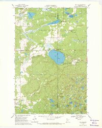
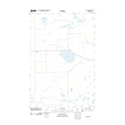
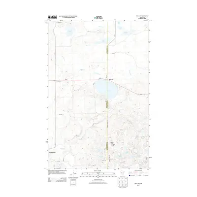
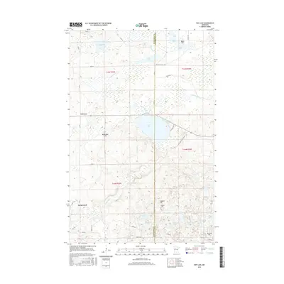
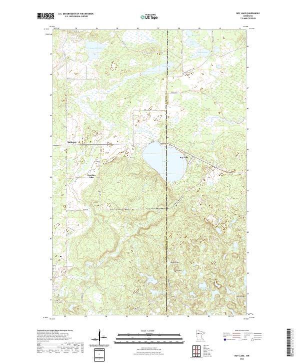
Roy Lake sits at the center of this 2022 survey, marking the border between Mahnomen and Clearwater counties. This wetland-rich landscape in northern Minnesota is characterized by a dense network of glacial water bodies and seasonal creeks. Small settlements like Mahkonce and West Roy Lake are connected by rural routes such as Strawberry Mountain Rd and Norris Trl. The topography is punctuated by distinct rises, including Hogback Hill, Norris Hill, and Jack Pine Hill, which stand above the surrounding lowlands. The drainage pattern is defined by Roy Lake Cr and Badboy Cr, which weave through numerous smaller basins like Horseshoe Lake, Skinaway Lake, and Tamarack Lake. This modern record by the U.S. Geological Survey preserves the contemporary footprint of these lake-centered communities and their primitive road systems.
Find a feature on this map
38 named features on this map. Tap any name to fly to it.
Don’t see what you’re looking for? This feature index may not catch every label — zoom into the map to look around manually.
Map Details
Editions of this 2022 Roy Lake Map
This is the sole edition of this map. No revisions or reprints were ever made.
Historical Maps of Mahkonce Through Time
6 maps found