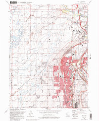
1990 Map of Roy
USGS Topo · Published 1990About this map
Hill Air Force Base and the Defense Depot Ogden (Army) anchor the eastern and northern reaches of this landscape, illustrating the significant military footprint in the corridor between Ogden and Clinton. The dense urban development of Roy and Sunset is sharply contrasted by the western wetlands of the South Fork Ogden Bay Waterfowl Management Area. This 1990 revision reveals a complex network of water management, where the Willard Canal, Layton Canal, and Hooper Canal cut through the terrain to support both agriculture and expanding suburban life. Regional history is preserved in landmarks like the Clinton Cem and the former path of the Old Railroad Grade, while civic life is marked by the Ogden Municipal Airport and several local schools, including Sandridge Jr High Sch and Lakeview Sch.
Find a feature on this map
54 named features on this map. Tap any name to fly to it.
Don’t see what you’re looking for? This feature index may not catch every label — zoom into the map to look around manually.
Map Details
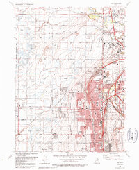
Editions of this 1990 Roy Map
2 editions found
Other maps of this area

1954 · Antelope Island North
USGS Topo · 1:24,000

1954 · Ogden
USGS Topo · 1:250,000

1954 · Brigham City
USGS Topo · 1:250,000

1955 · Ogden
USGS Topo · 1:24,000

1955 · Plain City
USGS Topo · 1:24,000

1955 · Clearfield
USGS Topo · 1:24,000

1955 · Roy
USGS Topo · 1:24,000

1955 · Plain City SW
USGS Topo · 1:24,000

1955 · North Ogden
USGS Topo · 1:24,000

1955 · Kaysville
USGS Topo · 1:24,000