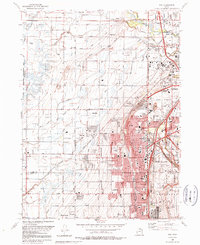
1990 Map of Roy
USGS Topo · Published 1990About this map
Hill Air Force Base and the Defense Depot Ogden (Army) anchor this 1990 survey, illustrating the significant military and logistics presence in northern Utah during the late 20th century. The suburban expansion of Roy, Sunset, and Clinton is clearly defined by their corporate boundaries, pressing against the agricultural traditions of Taylor and West Weber. This landscape is characterized by a complex network of irrigation and drainage, including the Layton Canal, Hooper Canal, and the meandering Howard Slough, which feed into the Ogden Bay Waterfowl Management Area. Local life is recorded through the presence of numerous LDS Church sites, Clinton Cem, and schools such as Roy High Sch. Transport corridors like the Union Pacific Railroad and the Ogden Municipal Airport highlight the region's role as a vital junction for the Weber River valley.
Find a feature on this map
80 named features on this map. Tap any name to fly to it.
Don’t see what you’re looking for? This feature index may not catch every label — zoom into the map to look around manually.
Map Details
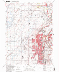
Editions of this 1990 Roy Map
2 editions found
Other maps of this area

1954 · Antelope Island North
USGS Topo · 1:24,000

1954 · Ogden
USGS Topo · 1:250,000

1954 · Brigham City
USGS Topo · 1:250,000

1955 · Ogden
USGS Topo · 1:24,000

1955 · Plain City
USGS Topo · 1:24,000

1955 · Clearfield
USGS Topo · 1:24,000

1955 · Roy
USGS Topo · 1:24,000

1955 · Plain City SW
USGS Topo · 1:24,000

1955 · North Ogden
USGS Topo · 1:24,000

1955 · Kaysville
USGS Topo · 1:24,000