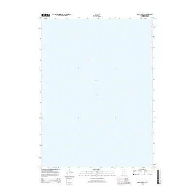
2014 Map of Rozel Point SW
USGS Topo · Published 2014About this map
Gunnison Bay defines the majority of this aquatic landscape in the northwestern portion of the Great Salt Lake. This specific quadrant is characterized by an absence of terrestrial features, focusing instead on the expansive water levels of the hypersaline basin in Box Elder County. The mapping by the U.S. Geological Survey captures the state of the lake's northern arm during the early twenty-first century, providing a clear boundary for the hydrographic extent of the bay. Researchers and historians can use this data to study the environmental shifting of the shoreline and water distribution across this section of the inland sea, where the lack of human infrastructure or terrain contours emphasizes the vastness of the water body itself.
Find a feature on this map
2 named features on this map. Tap any name to fly to it.
Don’t see what you’re looking for? This feature index may not catch every label — zoom into the map to look around manually.
Map Details
Editions of this 2014 Rozel Point SW Map
This is the sole edition of this map. No revisions or reprints were ever made.
Other maps of this area

1954 · Brigham City
USGS Topo · 1:250,000

1958 · Brigham City
USGS Topo · 1:250,000

1962 · Brigham City
USGS Topo · 1:250,000

1968 · Messix Peak
USGS Topo · 1:24,000

1968 · Indian Cove
USGS Topo · 1:24,000

1968 · Rozel Point
USGS Topo · 1:24,000

1969 · Rozel Point SW
USGS Topo · 1:24,000

1969 · Carrington Island NW
USGS Topo · 1:24,000

1969 · Gunnison Island
USGS Topo · 1:24,000
1969 · Gunnison Island NE
USGS Topo · 1:24,000