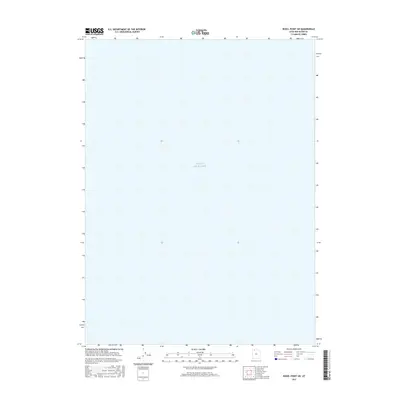
2017 Map of Rozel Point SW
USGS Topo · Published 2017About this map
Great Salt Lake covers the entirety of this topographic quadrant, showing the northern reaches of the water body in Box Elder County. This 2017 survey represents a period of modern cartographic monitoring, utilizing data from the National Hydrography Dataset to delineate the shoreline and expanse of the lake. Because this specific area is dominated by the lake itself, the map serves as a clean record of the water's extent and the open landscape of this northern Utah region, lacking the complex human infrastructure found in more settled land-based quads.
Find a feature on this map
1 named feature on this map. Tap any name to fly to it.
Don’t see what you’re looking for? This feature index may not catch every label — zoom into the map to look around manually.
Map Details
Editions of this 2017 Rozel Point SW Map
This is the sole edition of this map. No revisions or reprints were ever made.
Other maps of this area

1954 · Brigham City
USGS Topo · 1:250,000

1958 · Brigham City
USGS Topo · 1:250,000

1962 · Brigham City
USGS Topo · 1:250,000

1968 · Messix Peak
USGS Topo · 1:24,000

1968 · Indian Cove
USGS Topo · 1:24,000

1968 · Rozel Point
USGS Topo · 1:24,000

1969 · Rozel Point SW
USGS Topo · 1:24,000

1969 · Carrington Island NW
USGS Topo · 1:24,000

1969 · Gunnison Island
USGS Topo · 1:24,000
1969 · Gunnison Island NE
USGS Topo · 1:24,000