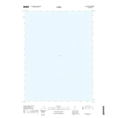
2020 Map of Rozel Point SW
USGS Topo · Published 2020About this map
Great Salt Lake dominates this expanse of Box Elder County, defining the entire landscape of this 2020 topographic survey. Situated in the northwestern reach of the salt desert, the map captures a significant portion of the water body, which is the primary feature of the Rozel Point SW quadrangle. Because this section of the lake is characterized by shallow waters and shifting shorelines, the absence of land-based infrastructure or settlements reflects the unique environmental conditions of this region. The map serves as a clear record of the lake's footprint during the early 21st century, illustrating the vast open water that has shaped the history and ecology of northern Utah for generations.
Find a feature on this map
1 named feature on this map. Tap any name to fly to it.
Don’t see what you’re looking for? This feature index may not catch every label — zoom into the map to look around manually.
Map Details
Editions of this 2020 Rozel Point SW Map
This is the sole edition of this map. No revisions or reprints were ever made.
Other maps of this area

1954 · Brigham City
USGS Topo · 1:250,000

1958 · Brigham City
USGS Topo · 1:250,000

1962 · Brigham City
USGS Topo · 1:250,000

1968 · Messix Peak
USGS Topo · 1:24,000

1968 · Indian Cove
USGS Topo · 1:24,000

1968 · Rozel Point
USGS Topo · 1:24,000

1969 · Rozel Point SW
USGS Topo · 1:24,000

1969 · Carrington Island NW
USGS Topo · 1:24,000

1969 · Gunnison Island
USGS Topo · 1:24,000
1969 · Gunnison Island NE
USGS Topo · 1:24,000