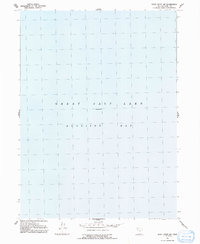
1991 Map of Rozel Point SW
USGS Topo · Published 1991About this map
Great Salt Lake dominates this topographic study, specifically covering the expanse of Gunnison Bay. Revised in the early 1990s from late 1960s source material, the map focuses almost entirely on the hydrologic and aquatic environment of the northern lake. The lack of terrestrial landmarks emphasizes the sheer scale of the water body, which is recorded at Elevation 4200 feet. This specific location in the lake reflects a moment in time for the saline ecosystem of Utah before subsequent decades of environmental shifts and water level fluctuations. It provides a technical benchmark of the shoreline and water depth for researchers and historians interested in the Great Salt Lake's modern history.
Find a feature on this map
3 named features on this map. Tap any name to fly to it.
Don’t see what you’re looking for? This feature index may not catch every label — zoom into the map to look around manually.
Map Details
Editions of this 1991 Rozel Point SW Map
This is the sole edition of this map. No revisions or reprints were ever made.
Other maps of this area

1954 · Brigham City
USGS Topo · 1:250,000

1958 · Brigham City
USGS Topo · 1:250,000

1962 · Brigham City
USGS Topo · 1:250,000

1968 · Messix Peak
USGS Topo · 1:24,000

1968 · Indian Cove
USGS Topo · 1:24,000

1968 · Rozel Point
USGS Topo · 1:24,000

1969 · Rozel Point SW
USGS Topo · 1:24,000

1969 · Carrington Island NW
USGS Topo · 1:24,000

1969 · Gunnison Island
USGS Topo · 1:24,000
1969 · Gunnison Island NE
USGS Topo · 1:24,000