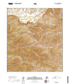
2019 Map of Ruby B-1 NW
USGS Topo · Published 2019About this map
Big Mud River winds through the northern reaches of this interior Alaskan landscape, marking the primary topographical relief in a region dominated by surveyed townships. The terrain is characterized by the structured grid of the Public Land Survey System, specifically detailing boundaries such as t11s r27e, t11s r28e, and t13s r27e. This 2019 survey documents the wild and undeveloped character of the Yukon-Koyukuk region, focusing on the intricate elevation changes and hydrology of the river basin. Without roads or permanent settlements recorded, the map emphasizes the natural drainage patterns and township divisions that define this remote section of the Alaskan wilderness.
Find a feature on this map
7 named features on this map. Tap any name to fly to it.
Don’t see what you’re looking for? This feature index may not catch every label — zoom into the map to look around manually.
Map Details
Editions of this 2019 Ruby B-1 NW Map
This is the sole edition of this map. No revisions or reprints were ever made.
Other maps of this area

1951 · Ruby
USGS Topo · 1:250,000

1952 · Ruby B-1
USGS Topo · 1:63,360

1952 · Ruby B-2
USGS Topo · 1:63,360

1952 · Ruby C-1
USGS Topo · 1:63,360

1952 · Ruby C-2
USGS Topo · 1:63,360

1952 · Ruby
USGS Topo · 1:250,000

1964 · Ruby
USGS Topo · 1:250,000
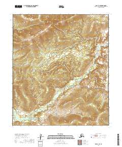
2019 · Ruby C-1 SE
USGS Topo · 1:25,000
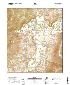
2019 · Ruby B-1 SW
USGS Topo · 1:25,000
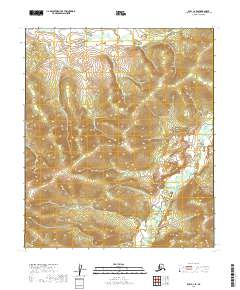
2019 · Ruby C-2 SE
USGS Topo · 1:25,000