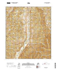
2019 Map of Ruby B-3 SW
USGS Topo · Published 2019About this map
Lost River meanders through this portion of the Yukon-Koyukuk Census Area, serving as the primary drainage for the surrounding terrain. This 2019 survey documents the landscape during a period of modern topographic mapping, where the intricate network of tributaries and local relief is captured through precision elevation data. The area is defined by its remote character and the systematic organization of the Public Land Survey System, with boundaries such as t13s r22e and t13s r23e intersecting the river valley. The map is a record of northern hydrology and land division in the early 21st century, showing the relationship between the waterways and the established township grids of interior Alaska.
Find a feature on this map
5 named features on this map. Tap any name to fly to it.
Don’t see what you’re looking for? This feature index may not catch every label — zoom into the map to look around manually.
Map Details
Editions of this 2019 Ruby B-3 SW Map
This is the sole edition of this map. No revisions or reprints were ever made.
Other maps of this area

1951 · Ruby
USGS Topo · 1:250,000

1952 · Ruby A-3
USGS Topo · 1:63,360

1952 · Ruby A-4
USGS Topo · 1:63,360

1952 · Ruby B-4
USGS Topo · 1:63,360

1952 · Ruby B-3
USGS Topo · 1:63,360

1952 · Ruby
USGS Topo · 1:250,000
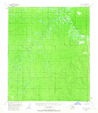
1953 · Ruby B-3
USGS Topo · 1:63,360

1964 · Ruby
USGS Topo · 1:250,000
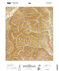
2019 · Ruby A-3 NW
USGS Topo · 1:25,000
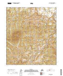
2019 · Ruby B-3 NW
USGS Topo · 1:25,000