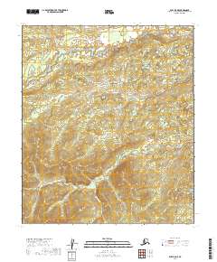
2019 Map of Ruby B-5 NE
USGS Topo · Published 2019About this map
Easy Money Cr and Twilight Cr drain this interior Alaskan landscape, characterized by a complex network of waterways in the Yukon-Koyukuk region. The map reveals a drainage pattern where small tributaries like Whitechannel Cr and Dominion Cr feed into larger systems such as Trail Cr and Tip Cr. The lack of road infrastructure or developed settlements on this 2019 survey reflects the remote nature of the terrain, where the hydrography is the primary defining feature of the land. Cartographic details include the intersections of the Townships t12s r18e and t12s r19e, providing a precise grid for locating specific drainages such as Flint Cr and Little Cr. For the local historian or outdoor researcher, these named creeks offer the only fixed points of reference in an otherwise undeveloped territory.
Find a feature on this map
14 named features on this map. Tap any name to fly to it.
Don’t see what you’re looking for? This feature index may not catch every label — zoom into the map to look around manually.
Map Details
Editions of this 2019 Ruby B-5 NE Map
This is the sole edition of this map. No revisions or reprints were ever made.
Other maps of this area

1951 · Ruby
USGS Topo · 1:250,000

1952 · Ruby B-4
USGS Topo · 1:63,360

1952 · Ruby C-5
USGS Topo · 1:63,360

1952 · Ruby B-5
USGS Topo · 1:63,360

1952 · Ruby C-4
USGS Topo · 1:63,360

1952 · Ruby
USGS Topo · 1:250,000

1964 · Ruby
USGS Topo · 1:250,000
2019 · Ruby B-4 NW
USGS Topo · 1:25,000
2019 · Ruby C-5 SE
USGS Topo · 1:25,000
2019 · Ruby C-5 SW
USGS Topo · 1:25,000