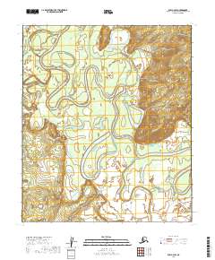
2019 Map of Ruby C-3 SW
USGS Topo · Published 2019About this map
Nowitna River meanders across this interior landscape, carving a complex network of oxbow lakes and abandoned channels through the Yukon-Koyukuk region. This 2019 survey captures the shifting nature of the river's path, where the waterway serves as the primary geographic corridor through an area defined by low-lying wetlands and subtle topographic rises. The confluence of the Sulatna River enters from the west, contributing to a vast drainage system that has historically shaped travel and subsistence in this part of Alaska. While free of modern settlements, the map provides precise data on the natural hydrology and township boundaries, including t10s r22e and t11s r23e, essential for understanding land management and historical navigation in the Alaskan bush.
Find a feature on this map
6 named features on this map. Tap any name to fly to it.
Don’t see what you’re looking for? This feature index may not catch every label — zoom into the map to look around manually.
Map Details
Editions of this 2019 Ruby C-3 SW Map
This is the sole edition of this map. No revisions or reprints were ever made.
Other maps of this area

1951 · Ruby
USGS Topo · 1:250,000

1952 · Ruby C-3
USGS Topo · 1:63,360

1952 · Ruby B-4
USGS Topo · 1:63,360

1952 · Ruby B-3
USGS Topo · 1:63,360

1952 · Ruby C-4
USGS Topo · 1:63,360

1952 · Ruby
USGS Topo · 1:250,000
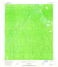
1953 · Ruby B-3
USGS Topo · 1:63,360

1964 · Ruby
USGS Topo · 1:250,000
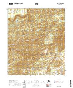
2019 · Ruby C-3 NE
USGS Topo · 1:25,000
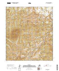
2019 · Ruby B-3 NW
USGS Topo · 1:25,000