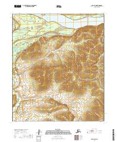
2019 Map of Ruby C-6 NE
USGS Topo · Published 2019About this map
Ruby occupies a high vantage point overlooking the massive Yukon River, serving as a critical connection point in the Alaskan interior. This 2019 survey illustrates the community's relationship with the river and its hinterland, connected by the Ruby / Poorman Road. The landscape is defined by the complex waterways of the Ruby Slough and the drainage systems of Boston Cr and Little Bonanza Cr as they flow toward the Yukon. The presence of Landfill Road and the established road to Poorman suggests a settlement defined by its logistics and access to the interior mining districts. For those studying the geography of the Yukon-Koyukuk Census Area, this sheet provides a contemporary look at the infrastructure and terrain of this river-bound settlement.
Find a feature on this map
17 named features on this map. Tap any name to fly to it.
Don’t see what you’re looking for? This feature index may not catch every label — zoom into the map to look around manually.
Map Details
Editions of this 2019 Ruby C-6 NE Map
This is the sole edition of this map. No revisions or reprints were ever made.
Other maps of this area

1951 · Ruby
USGS Topo · 1:250,000

1952 · Ruby D-6
USGS Topo · 1:63,360

1952 · Ruby D-5
USGS Topo · 1:63,360

1952 · Ruby C-5
USGS Topo · 1:63,360

1952 · Ruby C-6
USGS Topo · 1:63,360

1952 · Ruby
USGS Topo · 1:250,000

1964 · Ruby
USGS Topo · 1:250,000
2019 · Ruby D-6 SE
USGS Topo · 1:25,000
2019 · Ruby D-6 SW
USGS Topo · 1:25,000
2019 · Ruby C-5 SW
USGS Topo · 1:25,000