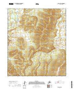
2019 Map of Ruby C-6 SW
USGS Topo · Published 2019About this map
Yuki River winds through the northwestern corner of this interior Alaskan wilderness, providing a primary drainage point for the surrounding highlands. The terrain is characterized by a series of significant ridges and valleys, with Main Cr cutting through the eastern edge of the quadrangle. This 2019 survey documents the landscape's natural state, showing the complex topography and drainage patterns that define this part of the Yukon-Koyukuk Census Area. The lack of man-made infrastructure or settlements underscores the isolation of this region, where the land remains largely untouched by development and is primarily shaped by its water systems and elevation changes.
Find a feature on this map
7 named features on this map. Tap any name to fly to it.
Don’t see what you’re looking for? This feature index may not catch every label — zoom into the map to look around manually.
Map Details
Editions of this 2019 Ruby C-6 SW Map
This is the sole edition of this map. No revisions or reprints were ever made.
Other maps of this area

1945 · Nulato
USGS Topo · 1:250,000

1951 · Nulato
USGS Topo · 1:250,000

1951 · Ruby
USGS Topo · 1:250,000

1952 · Nulato C-1
USGS Topo · 1:63,360

1952 · Nulato B-1
USGS Topo · 1:63,360

1952 · Ruby B-6
USGS Topo · 1:63,360

1952 · Ruby C-6
USGS Topo · 1:63,360

1952 · Nulato
USGS Topo · 1:250,000

1952 · Ruby
USGS Topo · 1:250,000
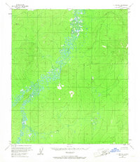
1953 · Nulato B-1
USGS Topo · 1:63,360