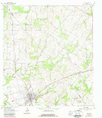
1963 Map of Runge
USGS Topo · Published 1987About this map
Runge serves as the primary hub in this South Texas landscape, situated at the intersection of local routes and natural drainages. This mid-century survey reveals a transition in the local economy and infrastructure, notably marked by the Old Railroad Grade passing through the terrain. The landscape is heavily defined by its watershed, with multiple tributaries including Mc Tennel Creek, Salt Creek, and Agua de Ojo Creek carving through the prairie.
Find a feature on this map
18 named features on this map. Tap any name to fly to it.
Don’t see what you’re looking for? This feature index may not catch every label — zoom into the map to look around manually.
Map Details
Editions of this 1963 Runge Map
2 editions found
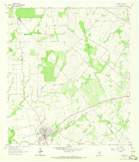
Other maps of this area

1920 · Smiley
USGS Topo · 1:125,000

1953 · Beeville
USGS Topo · 1:250,000

1953 · Seguin
USGS Topo · 1:250,000

1956 · Beeville
USGS Topo · 1:250,000

1956 · Karnes City
USGS Topo · 1:62,500

1958 · Seguin
USGS Topo · 1:250,000

1960 · Beeville
USGS Topo · 1:250,000

1960 · Helena
USGS Topo · 1:24,000
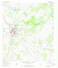
1961 · Kenedy
USGS Topo · 1:24,000

1961 · New Davy
USGS Topo · 1:24,000