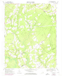
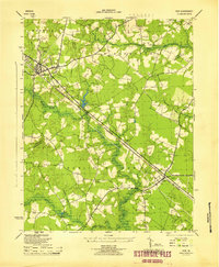
1968 Map of Runnymede
USGS Topo · Published 1974About this map
Pocasin Swamp and a dense network of watercourses like Moores Swamp and Green Swamp define the Tidewater landscape of the late 1960s. This survey, updated with 1973 photogrammetric data, captures the rural intersection of Surry and Isle of Wight counties. Small communities and crossroads serve as the primary hubs of activity, including Beachland, Runnymede, and California Crossroads. The map reveals a reliance on the local environment for industry and infrastructure, evidenced by Derrings Mill on Willy Cox Mill Branch and the Hundreds Bridge crossing. Local religious life is anchored by several rural sanctuaries, such as Mt Moriah Ch and Oak Grove Ch. While modernization is present via a large pipeline and state routes, much of the area remains dominated by agricultural clearings and wetlands like Cypress Pocosin and Belle Meadow Pocosin.
Find a feature on this map
40 named features on this map. Tap any name to fly to it.
Don’t see what you’re looking for? This feature index may not catch every label — zoom into the map to look around manually.
Map Details
Editions of this 1968 Runnymede Map
4 editions found
Other maps of this area

1907 · Yorktown
USGS Topo · 1:62,500

1919 · Smithfield
USGS Topo · 1:62,500

1919 · Surry
USGS Topo · 1:62,500

1920 · Ivor
USGS Topo · 1:62,500

1943 · Yorktown
USGS Topo · 1:62,500

1943 · Richmond
USGS Topo · 1:250,000

1944 · Ivor
USGS Topo · 1:24,000

1944 · Smithfield
USGS Topo · 1:24,000

1944 · Raynor
USGS Topo · 1:24,000
1945 · Ivor
USGS Topo · 1:31,680