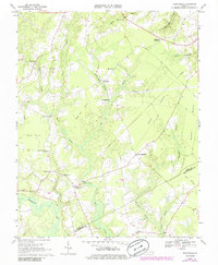
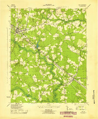
1968 Map of Runnymede
USGS Topo · Published 1986About this map
Blackwater River and its intricate drainage network define the wetlands of this Tidewater landscape at the boundary of Surry and Isle of Wight counties. The area is characterized by vast pocosin formations, including Cypress Pocosin and Willy Cox Pocosin, which create a complex environment of swamps and branches. Human settlement is dispersed among crossroads and small communities such as Beachland and Moorings, with local industry represented by sites like Derrings Mill and various sandpits.
Find a feature on this map
38 named features on this map. Tap any name to fly to it.
Don’t see what you’re looking for? This feature index may not catch every label — zoom into the map to look around manually.
Map Details
Editions of this 1968 Runnymede Map
4 editions found
Other maps of this area

1907 · Yorktown
USGS Topo · 1:62,500

1919 · Smithfield
USGS Topo · 1:62,500

1919 · Surry
USGS Topo · 1:62,500

1920 · Ivor
USGS Topo · 1:62,500

1943 · Yorktown
USGS Topo · 1:62,500

1943 · Richmond
USGS Topo · 1:250,000

1944 · Ivor
USGS Topo · 1:24,000

1944 · Smithfield
USGS Topo · 1:24,000

1944 · Raynor
USGS Topo · 1:24,000
1945 · Ivor
USGS Topo · 1:31,680