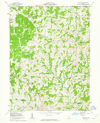
1961 Map of Ruraldale
USGS Topo · Published 1963About this map
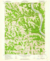
Blue Rock State Forest and the Blue Rock State Reserve dominate the western portion of this Muskingum County landscape, providing a glimpse into the region's managed woodlands in the early 1960s. The topography is defined by sharp ridges and deep hollows like Harmony Hollow and Sleepy Hollow, where small agricultural clearings and isolated rural homesteads dot the valleys. Near the summit of High Hill, a prominent elevation point, several Radio Towers and High Hill Ch reflect the area's role as a local high point for communication and community life.
Find a feature on this map
37 named features on this map. Tap any name to fly to it.
Don’t see what you’re looking for? This feature index may not catch every label — zoom into the map to look around manually.
Map Details
Editions of this 1961 Ruraldale Map
4 editions found
Other maps of this area

1909 · Caldwell
USGS Topo · 1:62,500

1910 · Philo
USGS Topo · 1:62,500

1910 · Mc Connelsville
USGS Topo · 1:62,500

1911 · Cumberland
USGS Topo · 1:62,500

1912 · Caldwell
USGS Topo · 1:62,500

1949 · Clarksburg
USGS Topo · 1:250,000

1956 · Clarksburg
USGS Topo · 1:250,000

1961 · Clarksburg
USGS Topo · 1:250,000

1961 · Mc Connelsville
USGS Topo · 1:24,000
1961 · Rokeby Lock
USGS Topo · 1:24,000